Farnborough Airshow 2026: Meet the Team
Book a Time
HomepageEvents

What is happening

All Events

Aerial view from a yellow airplane wing flying over icy waters with scattered ice floes and a larger iceberg in a dark patch of open water, ideal for Environmental Monitoring and Forecasting Solutions.
Predicting the Unpredictable: All About Environmental Monitoring and a Critical Yacht Recovery
Read more
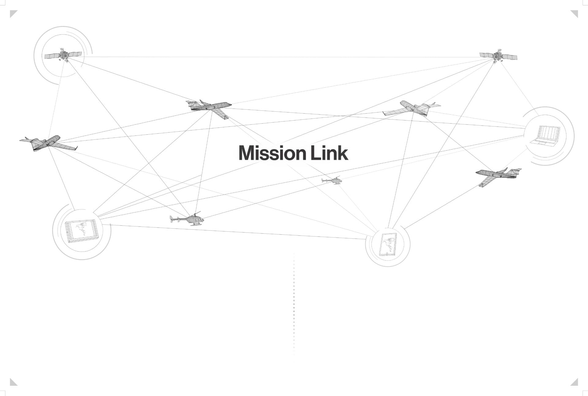
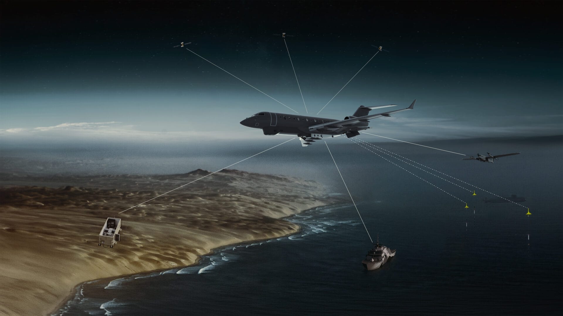
Aerial view from an aircraft wing showing a series of orange life rafts being deployed over the ocean during an Airborne SAR mission, with the blue sea and sky visible in the background.
Airborne SAR: An Engineering Deep Dive
Read more
A network diagram labeled Mission Link shows aircraft, helicopters, laptops, and screens connected by intersecting lines, illustrating real-time communication and data sharing within the CarteNav Ecosystem using AIMS-ISR and Live Broadcast capabilities.
Live Broadcast – Unlocking the CarteNav Ecosystem: AIMS-ISR, AIMS-C4, and MissionLink
Read more
A military aircraft flies over a coastline, connected by lines to drones, a ship, a ground vehicle, and surveillance buoys, illustrating a networked surveillance and communication system.
Defining the Concept of Operations – A Fireside Chat on Getting it Right Before the Mission Begins
Read more
A wooden boardwalk on stilts extends over water, leading past coastal buildings under a bright sky with scattered clouds. Rocks are visible in the foreground. The scene captures a quiet moment before the excitement of Air Show Atlantic 2025.
Air Show Atlantic 2025
Read more